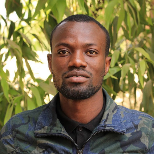
Mohamadou DIEYE
Géomaticien (SIG - Télédétection) / Geomatician (GIS and Remote Sensing)
Présentation
FR
Responsable SIG et Télédétection au sein de l’ISRA/BAME. Il travaille sur la création d’informations géospatiales (agricoles et foncières) par collecte de données géographiques par GPS, photographies aériennes (drone) ou images satellitaires.
Ces données sont ensuite traitées au sein de systèmes d’information géographique informatisés afin de contribuer à la compréhension des dynamiques territoriales et d’accompagner la définition de politiques publiques agricoles et foncières.
ANG
He works on the creation of geospatial information (agricultural and land) by collecting geographical data by GPS, aerial photographs (drone) or satellite images.
These data are then processed within computerized geographic information systems in order to contribute to the understanding of territorial dynamics and to support the definition of agricultural and land public policies.


